
The Project
OK-ROAD was born within an Open Innovation initiative promoted by Anas S.p.A., the company that manages a vast network of state roads and highways in Italy.
The goal was to develop a Proof of Concept (PoC) to be tested on the Smart Road SS51 Alemagna, a state-of-the-art road infrastructure equipped with multifunction poles featuring cameras.
Despite the availability of numerous images and video streams, there was no software system capable of processing them automatically and in real time to detect damage or signs of degradation.

The Challenges Ahead
Road Surface
Identification of cracks, potholes and signs of surface or structural deterioration of the asphalt.
Horizontal Signage
Recognition of fading, cracks and the presence of potholes at painted road markings on the asphalt.
Vertical Signage
Detection of legibility issues, falling or degradation of road signs and panels.
Guard-rail
Monitoring of possible distortions or damage to safety barriers along the road.
The existing camera network was not supported by an AI system capable of autonomously analyzing video streams in real time, generating alerts or indicating necessary interventions.
Project Goals
Safety
Increase road user safety by providing useful guidance to keep the infrastructure in the best possible condition.
Resource Optimization
Support decision-makers in planning maintenance work, better directing labor resources and materials needed, minimizing waste and costs.
Our Solution
We developed six AI models dedicated to real-time monitoring of road conditions through video stream analysis.
Road Surface
Two specific models to precisely detect and localize damage such as cracks and potholes on the asphalt.
- Automatic identification of surface cracks
- Detection of potholes and depressions
- Monitoring of deterioration over time
Horizontal Signage
A model dedicated to localizing stripes, arrows and other markings on the asphalt.
- Recognition of faded markings
- Assessment of marking visibility
- Identification of specific damage
Vertical Signage
Two models that recognize the presence and condition of road signs.
- Identification of damaged or unreadable signs
- Recognition of sign type
- Assessment of orientation and visibility
Guard-rail
A model to localize and assess the state of safety barriers along the road.
- Detection of structural deformations
- Identification of impact damage
- Monitoring of barrier continuity
The models work together to provide a complete picture of the infrastructure's status in real time.

Key Implementation Phases
1. Preliminary Study
In-depth analysis of scientific literature and use of public datasets, to build a solid foundation and rely on methodologies already validated in AI applied to infrastructure.
2. Simulation Environment
Creation of a photorealistic environment to simulate different road conditions, types of damage, signage, and camera viewpoints. This lets us train models on a wider variety of scenarios, even before accessing real data.
3. Initial Training
Use of established methodologies and simulated data to create the first model, already tuned to Anas's needs. This phase lays the groundwork for the initial solution.
4. Iteration & Optimization
Testing the system on images provided by Anas (from the Smart Road cameras) and subsequently refining the models. Each new image is an opportunity to improve algorithm accuracy and robustness.
Tangible Benefits
Greater Safety
More precise infrastructure maintenance reduces risks for drivers, preventing dangerous situations caused by potholes, poor signage, and various damage.
Cost Reduction
Thanks to the predictive approach (fixing before the problem worsens), time and materials are better used, saving resources compared to massive interventions planned regardless of actual needs.
Sustainability
Well-maintained roads improve transport, reduce fuel consumption and lower greenhouse gas emissions. Efficient infrastructure benefits both the environment and the economy.
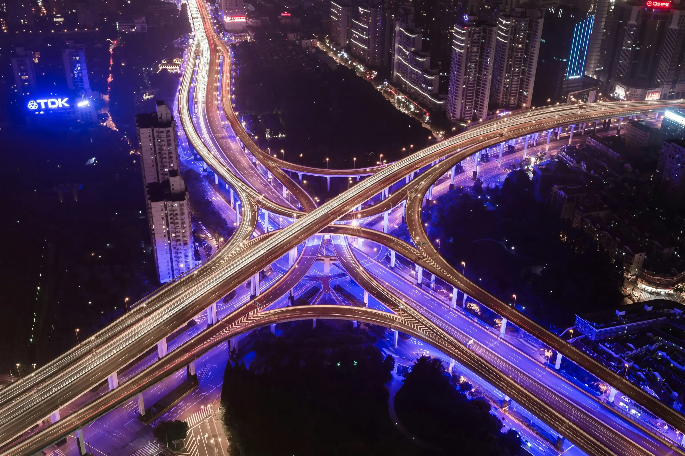
The system, connected to the extensive camera network on the SS51 Alemagna, captures every relevant detail in real time, enabling continuous and granular analysis of the infrastructure's status.
Other projects
Discover how we've helped other companies solve complex problems and turn their data into a competitive advantage.